Glenferrie Road Malvern looking south 1915

Stonnington History Centre MP679

High Street 1911

Stonnington History Centre MP212

Stonington, Government House Malvern 1904

Stonnington History Centre MP6652

Chadstone Shopping Centre 1960

Stonnington History Centre MP1077

Glenferrie Road, Malvern c1910

Stonnington History Centre MP513

Flood waters Chapel Street, South Yarra 1907

Stonnington History Centre PH491

Glenferrie Road, Malvern 1910

Stonnington History Centre MP5008

Greville Street level crossing, Prahran 1867

Stonnington History Centre PH13125

Chapel Street, Prahran c1911

Stonnington History Centre PH7077

Woodmason's Dairy, Malvern Road, Malvern c1915

Stonnington History Centre MP1375

Local Names

Gallery

Newsletters
Upcoming Events

Join Us

Publications

Just For Fun

Malvern Historical Society

The Society, founded in 1972, promotes and shares the history of Stonnington, Victoria, Australia.

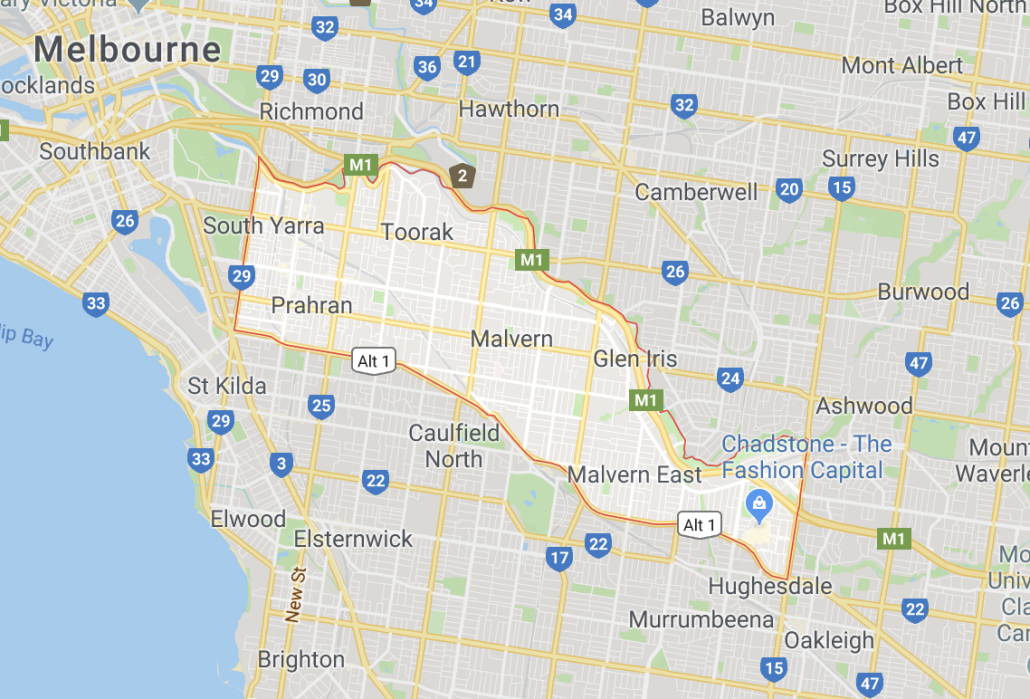
The Society encourages an interest in the history of the Stonnington municipality located in Melbourne’s inner south-east including the suburbs of Armadale, Glen Iris (part), Kooyong, Malvern, Malvern East, Prahran, South Yarra (part), Toorak and Windsor.

Stonnington History Centre

The Malvern Historical Society actively supports the Stonnington History Centre.

The Stonnington History Centre is dedicated to preserving and interpreting the history of the City of Stonnington and the former cities of Malvern and Prahran.
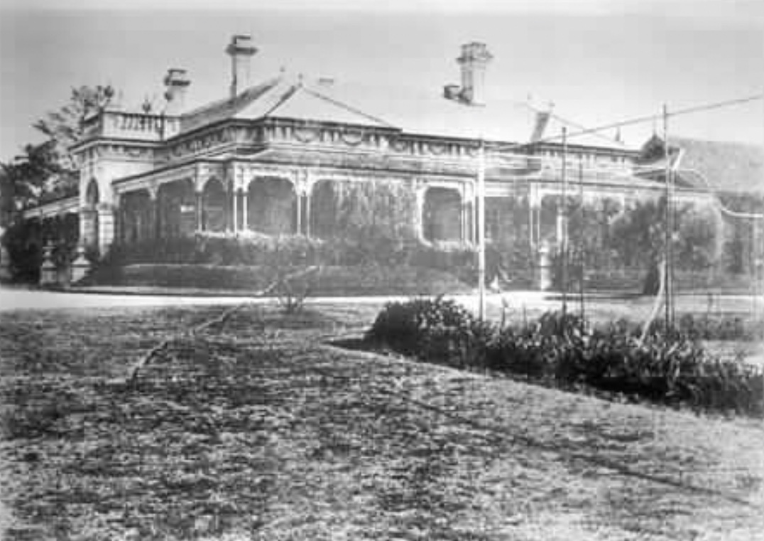
Northbrook, High Street., Malvern 1929

Stonnington History Centre MP5028
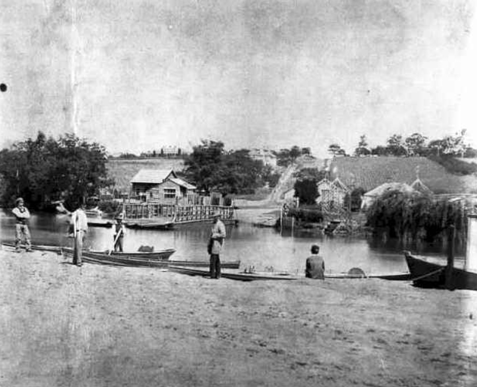
View of the punt over the Yarra, looking south from Richmond up Punt Rd c1861

Stonnington History Centre PH7490

The Centre is a branch of the Stonnington Library and Information Service.

Its collection includes books, photographs, building plans, maps, subdivision plans, Council rate records, newspapers, and general local history information.

You can search for archive material on the Stonnington History Centre catalogue.
Facebook

When did Glenferrie Road and High Street become important shopping strips? They became important shopping strips right from the time the train went through Malvern and Armadale in 1879 with further big growth after the tramway network was set up in 1910.The roads now known as Glenferrie Road and High Street were first surveyed in 1854. In 1857 Glenferrie Road was named Barkly Road after the Governor, Sir Henry Barkly. In 1872 the road was re-named Glenferrie Road, apparently after Glen Ferrie, a 60 acre property established by Malvern pioneer Peter Ferrie, overlooking Gardiner’s Creek at Kooyong. From the first settlement in the 1850s, market gardens, nurseries and a few houses on large allotments lined the rough bush roads. From 1858 William Chandler, known for his world famous cauliflowers and the Statesman’s Apple, established a market garden. The first general store in Glenferrie Road was built in 1860 by Robert Alway, on the south-west corner of Wattletree Road.Photo c1912 - Stonnington History Centre#stonningtonhistory #malvern #armadale ... See MoreSee Less
View on Facebook

Area of Stonnington