Kerang & District Family History Group Inc.


Kerang & District Family History Group Inc.
The Kerang & District Family History Group Inc. is a not-for-profit group to assist members in their family history research by providing a meeting place for genealogists and family historians to pursue their common interest.
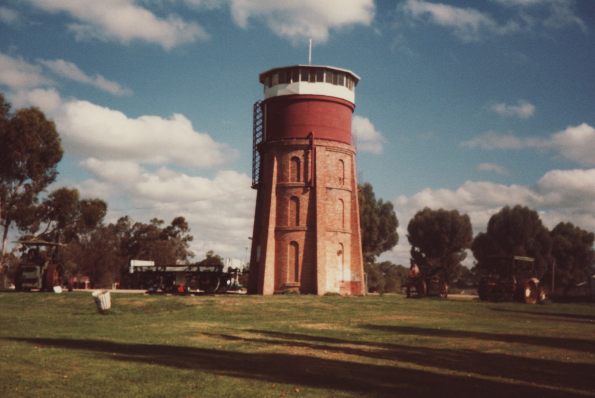
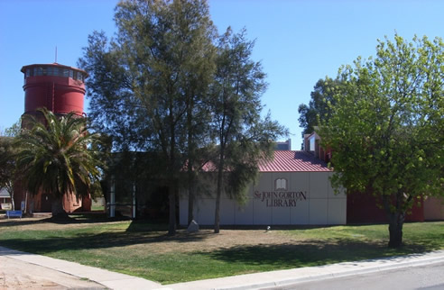
Originally under the auspices of The Genealogical Society of Victoria, we currently stand on our own and remain an associate member of this world-wide organization known as GSV. We are strongly connected to, and our collection housed at The Sir John Gorton Library, cnr Murray Valley Highway & Shadforth St, Kerang. Main entrance and car park can be found in Shadforth Street opposite Safeway. The old water tower built in 1883 has been incorporated into the library complex.
We have two rooms for genealogical purposes on the west side of the library building, which houses a collection of photographs, newspapers, books, maps, oral history recordings, local records and genealogical records. A more detailed list is on the Resources page.
The group is run entirely by volunteers who over the years have built up an extensive catalogue of genealogical research material and who enjoy sharing their knowledge and expertise with others who are researching their family trees. We are open to the public during library hours.
History of Kerang
Kerang was proclaimed a township in 1861 and the first form of local Government was the Swan Hill Roads Board based at Kerang. It covered an area of 2,080,000 acres or 10,490 square miles with a population of 470 and 83 dwellings. An earlier settlement called Old or Upper Kerang was established on the Loddon River 1848-1857. Woodford John Williams PATCHELL moved the settlement 2 miles down-river to start his own store and others followed.
History of Gannawarra Shire
The Gannawarra Shire established in 1997 includes the old Kerang Shire and Borough and the old Cohuna Shire, and is located in the northern irrigation area of Victoria, Australia, just four hours north of Melbourne. The train to and from Melbourne arrives twice daily, also buses. With an area of 3,740 square kilometres, the Shire has a population of 11,500. The main centres are Kerang (pop 3,700), Cohuna, Koondrook, Lake Charm, Lalbert, Leitchville, Murrabit, Mystic Park & Quambatook.
100 Year Flood - January 2011
Following ten years of drought conditions, the Gannawarra Shire experienced extreme rain events commencing in September 2010 and the last of these events was in January 2011. Rainfall from upstream areas of the catchment flowed into the Gannawarra Shire from Kow Swamp in the east, the Loddon and Avoca Rivers in the west, being more than 40 kilometres wide in some areas. The ‘one in one hundred year flood’ inundated homes and rural properties with approximately 50% of the Shire being impacted. In some areas water was still present more than twelve months after the flood event.
One outcome following the January 2011 flood, was the 100 Frames Exhibition put together with photos produced by the community as a permanent photographic record of the flood event.
Images of Kerang:
- 1873 Kerang first school
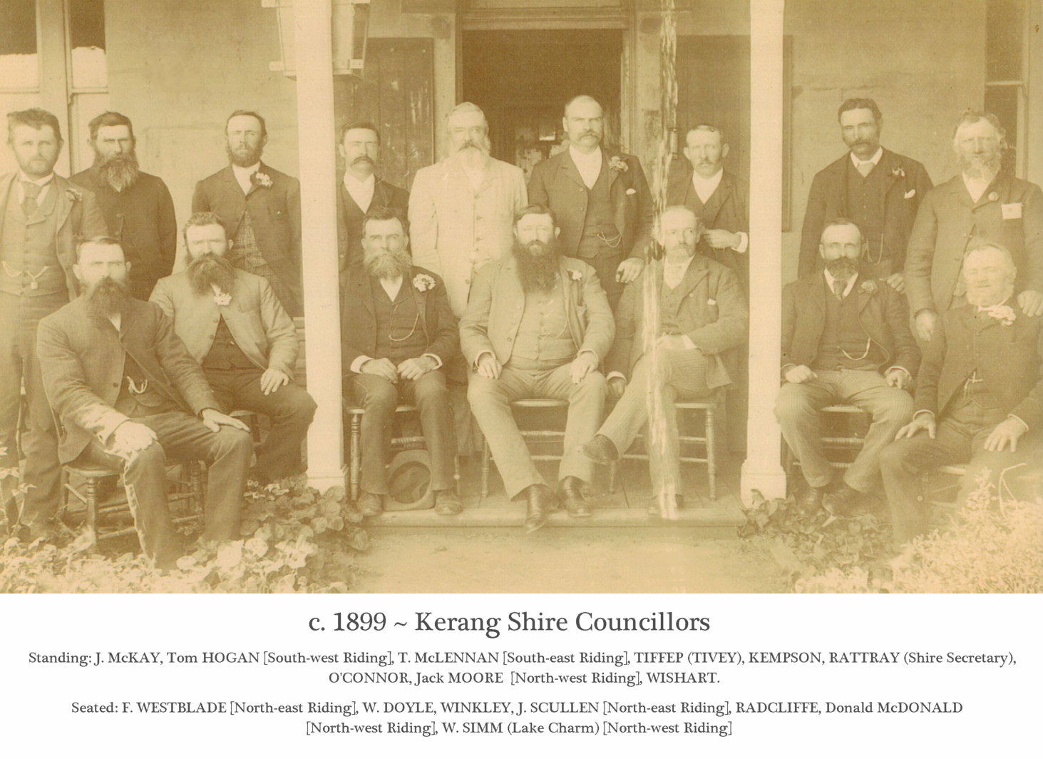
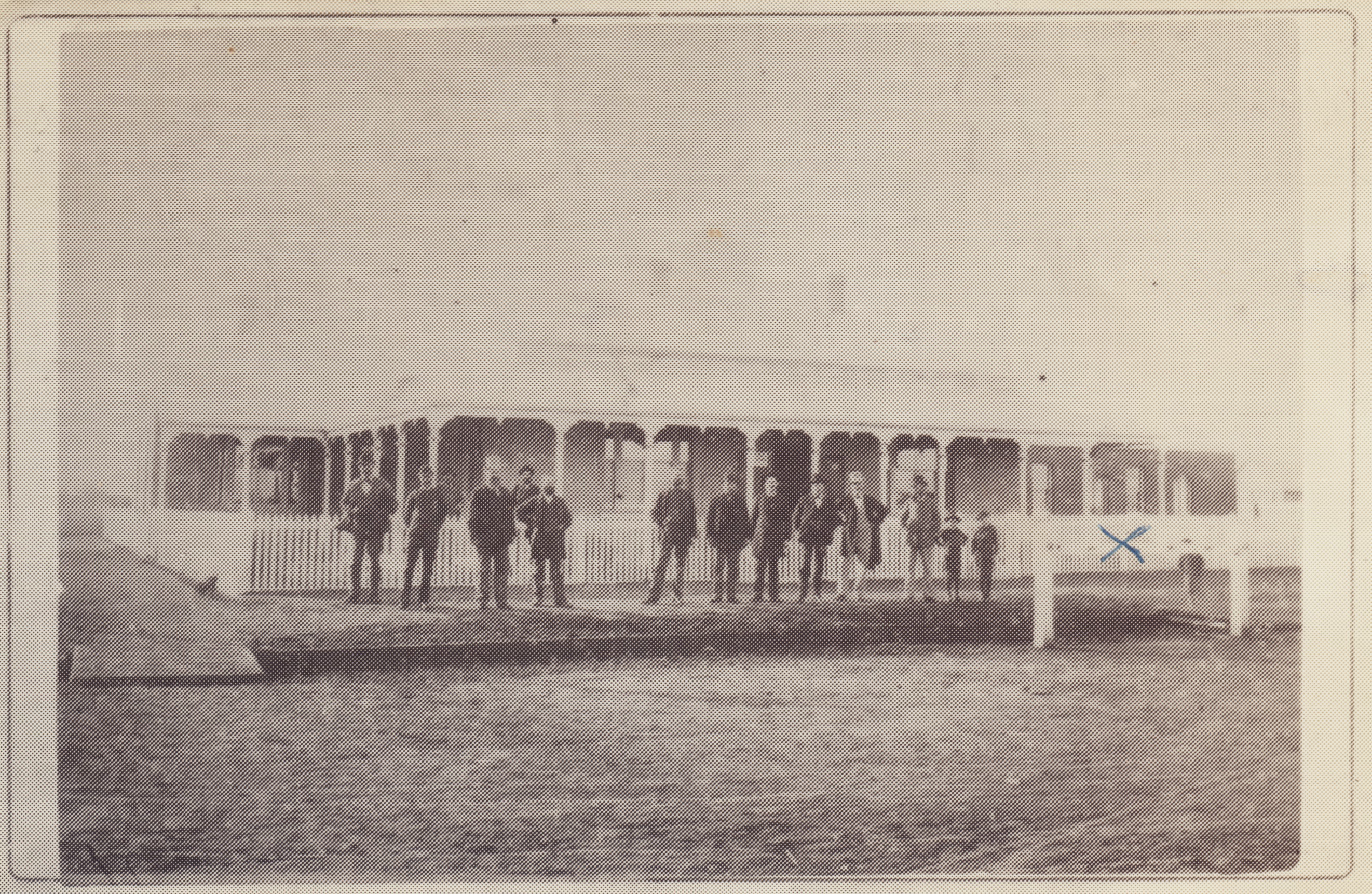
- c1899 Kerang Shire Coucillors
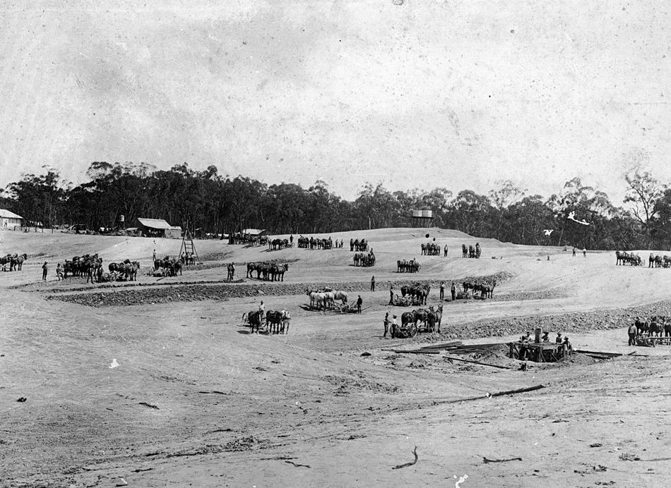
- c1905 digging dam - Horse teams excavating dams at an irrigation works.
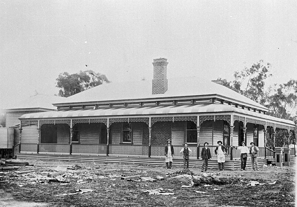
- c1910 Bael Bael Homestead - Builders in front of the house which they built at Bael Bael for Mr Charleston
- c1910 W. C. Pascoe store
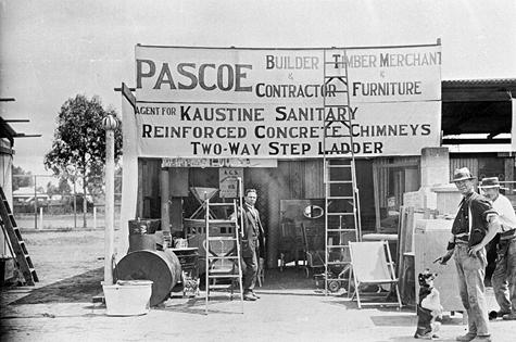
- c1910 show display - Two men & a dog in front of W.C. Pascoe 's portable stand at the Kerang Agricultural Show.
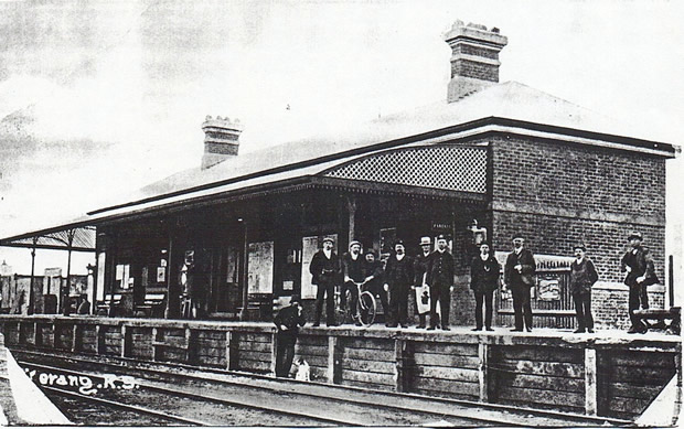
- 1912 Kerang Railway Station
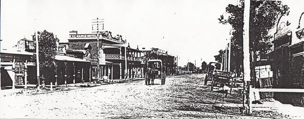
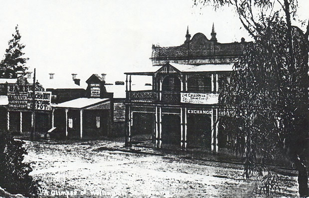
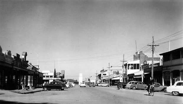
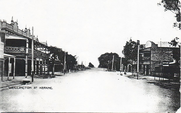
- 1915 Wellington St
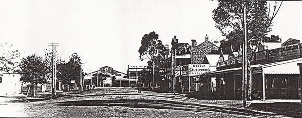
- 1921 Fitzroy St
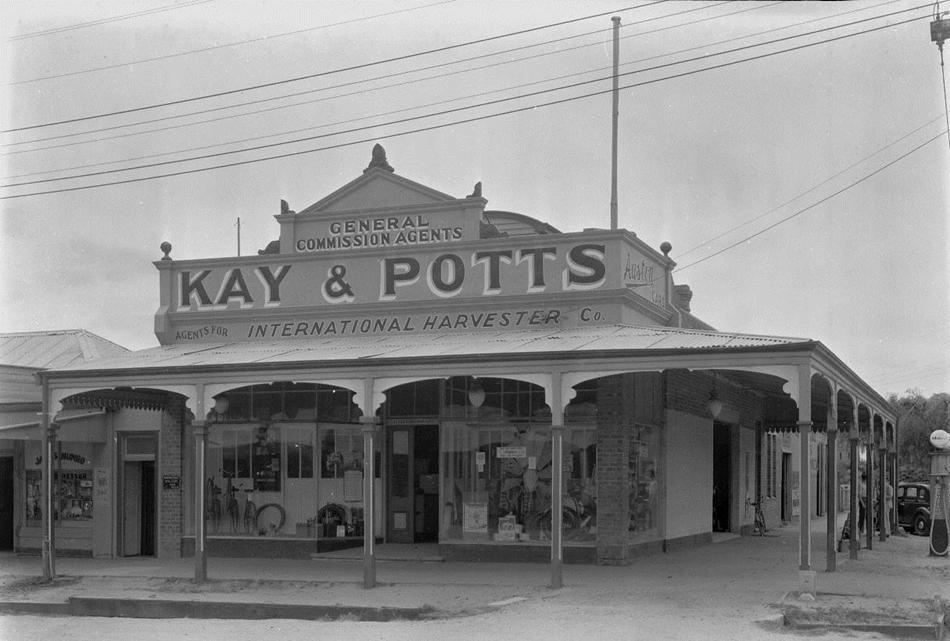
- 1940 Kay & Potts - were the Kerang agency for the International Harvester Co.
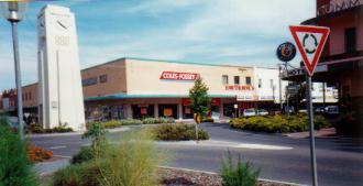
- 1960 Memorial Clock - with CBC bank on left
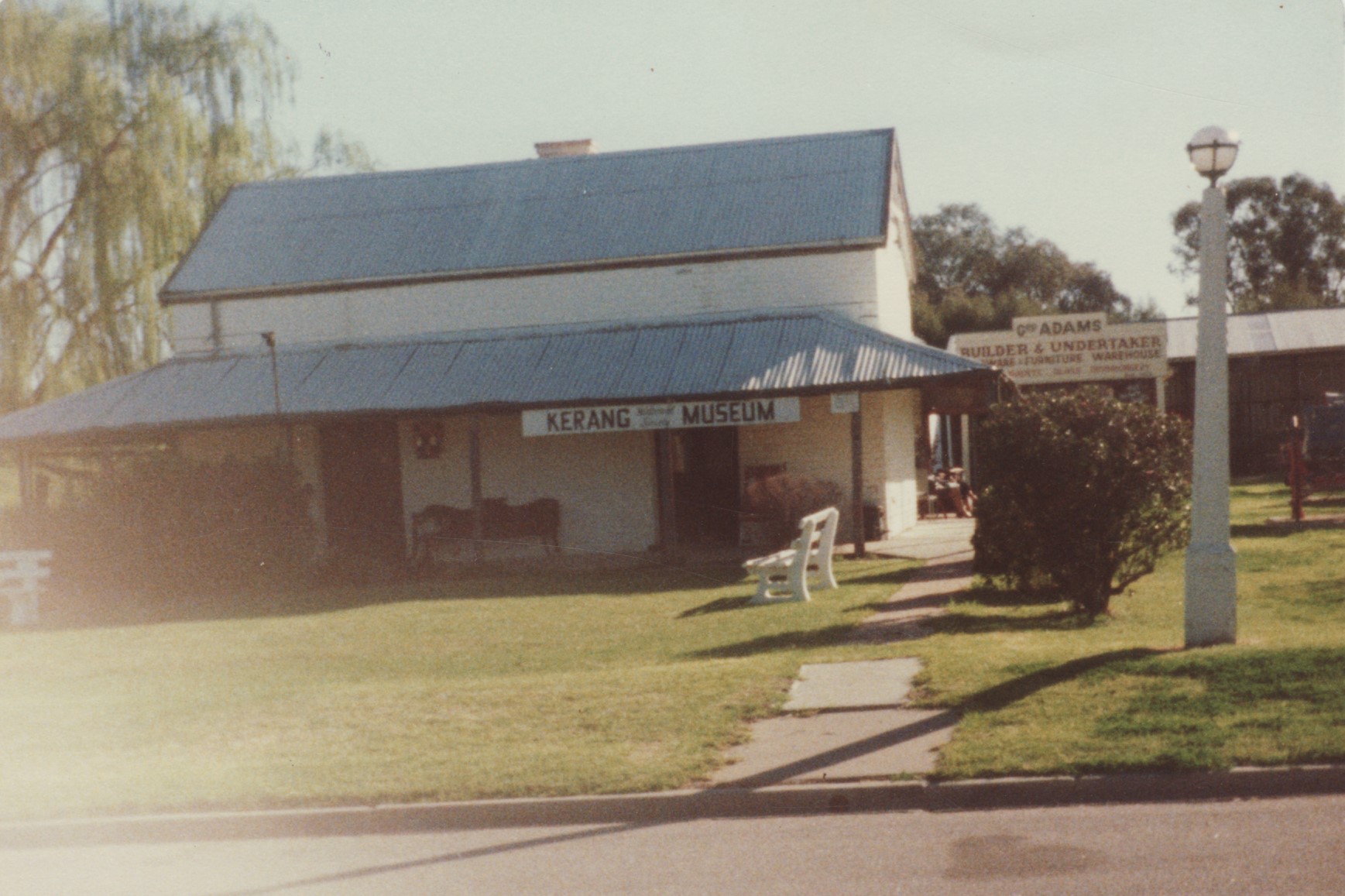
- 1980 Kerang Museum
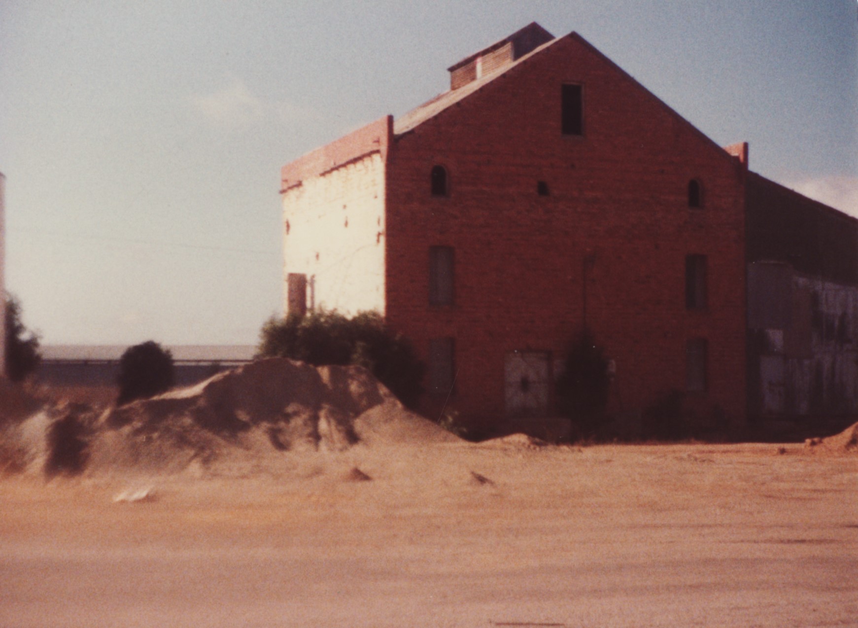
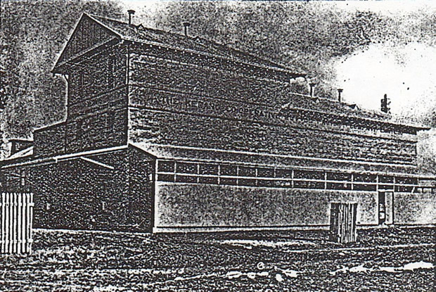
- 1982 old flour mill
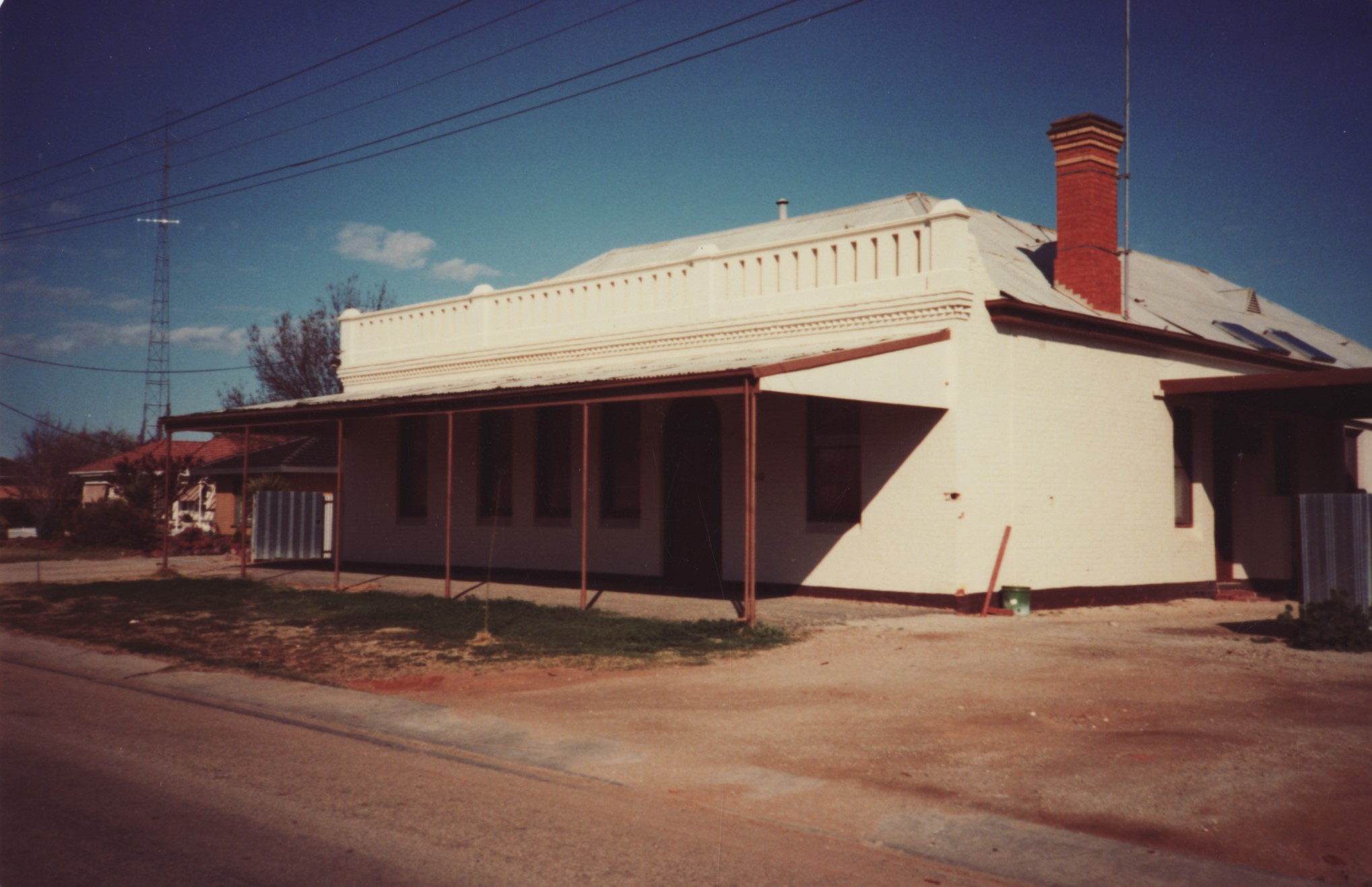
- 1982 old Shire Hotel - now a private residence
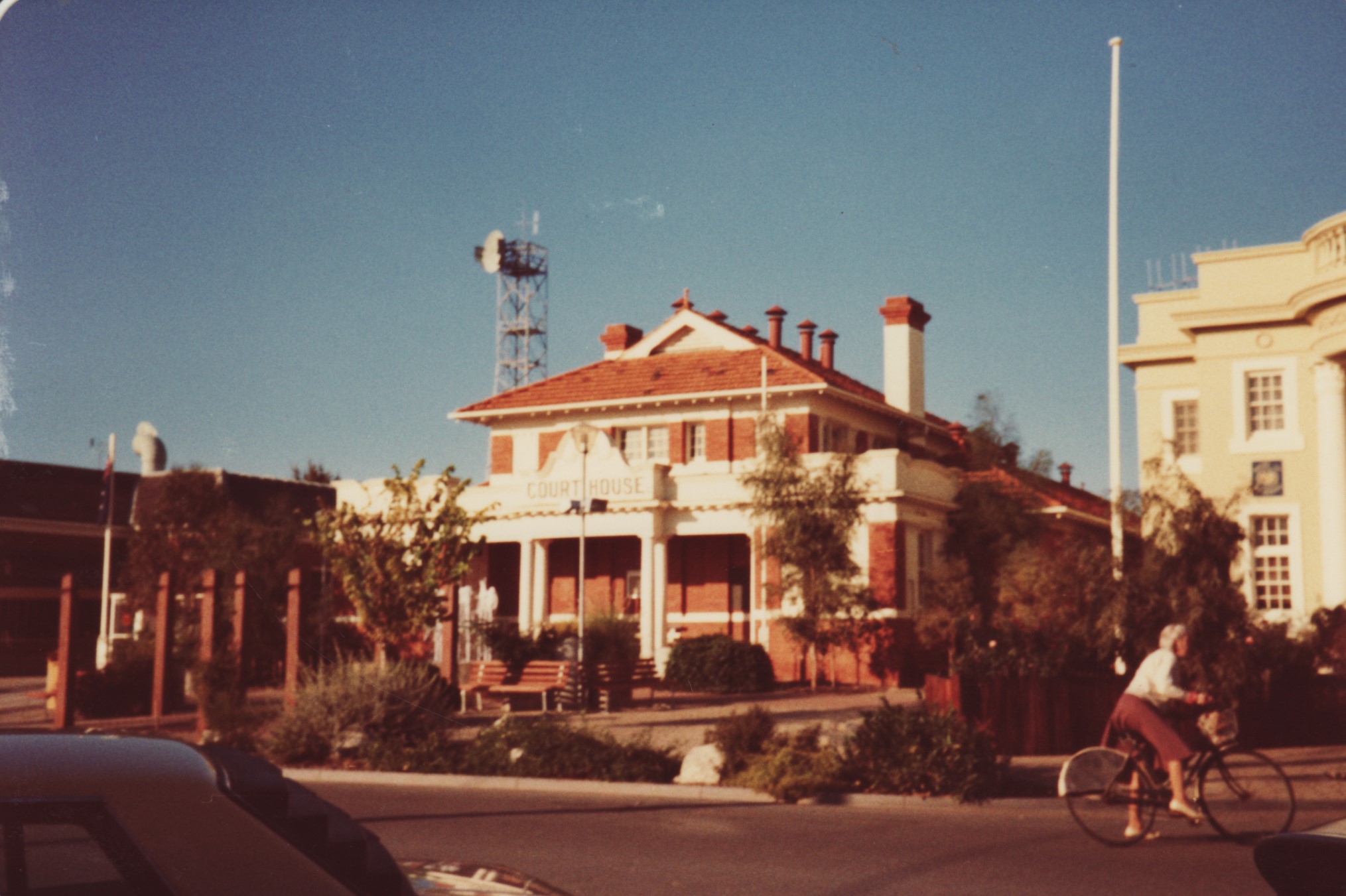
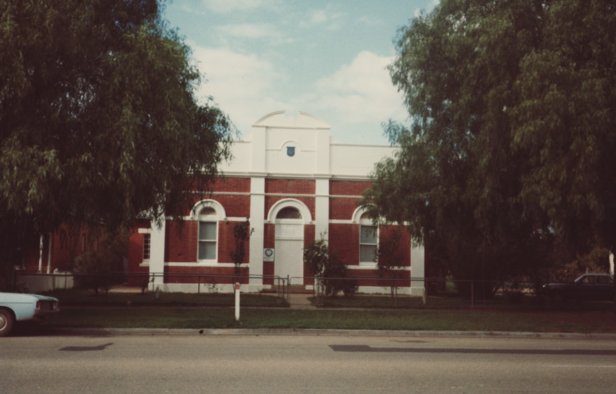
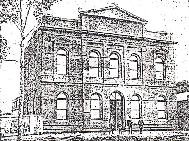
- 1983 court house
- 1983 Masonic Lodge
- 1983 Railway Station
- 1984 old Coffee Palace - cnr Boundary & Scorseby Sts, being demolished
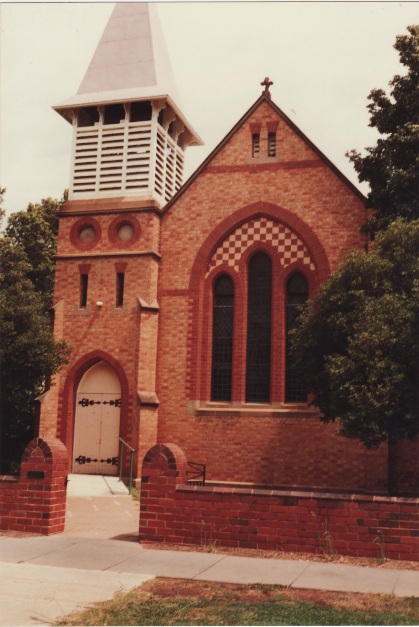
- 1984 St Andrew's Church
- Butter Factory
- Exchange Hotel, Wellington St
- harvesting
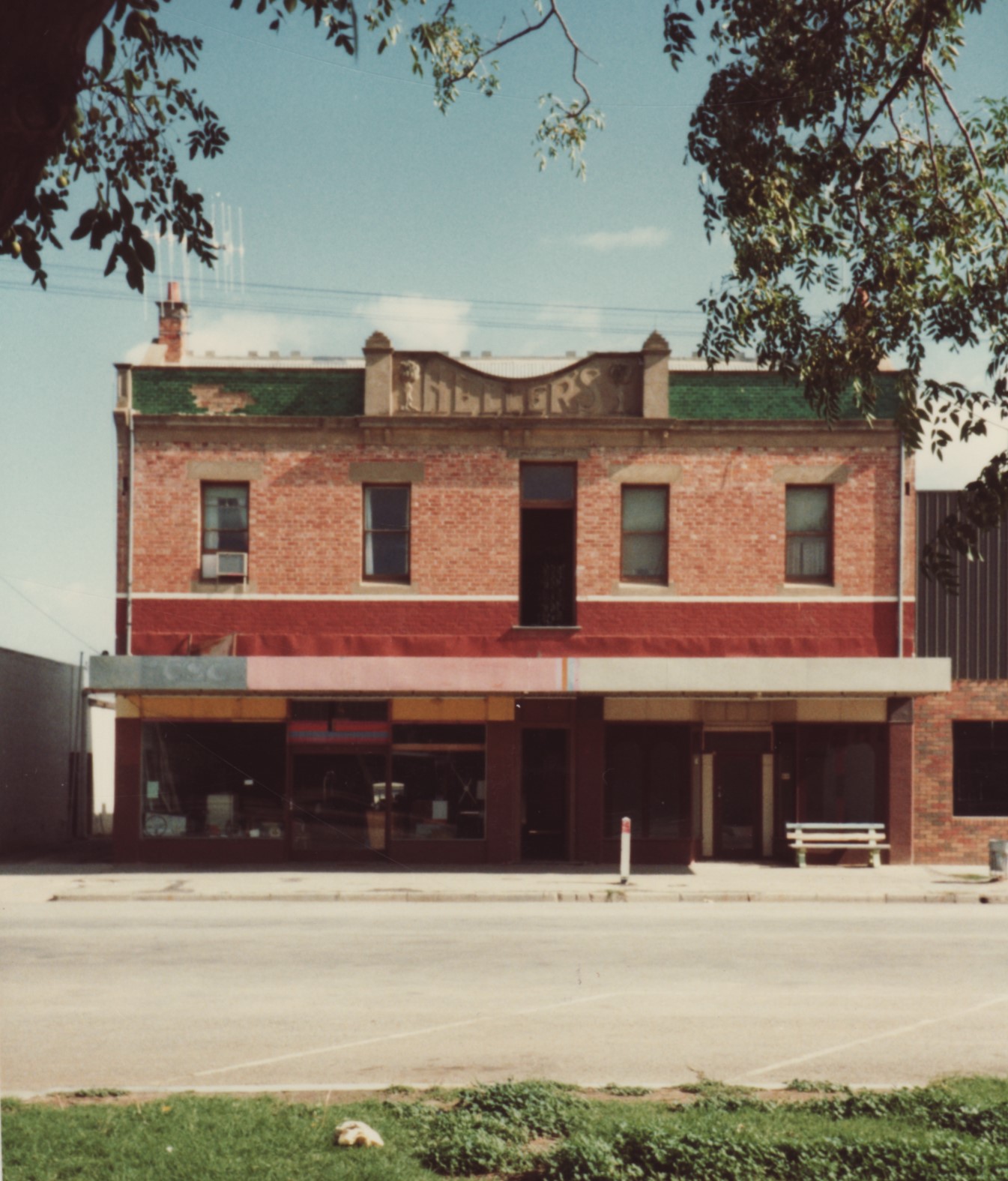
- Helliers - Fitzroy St
- Kerang College
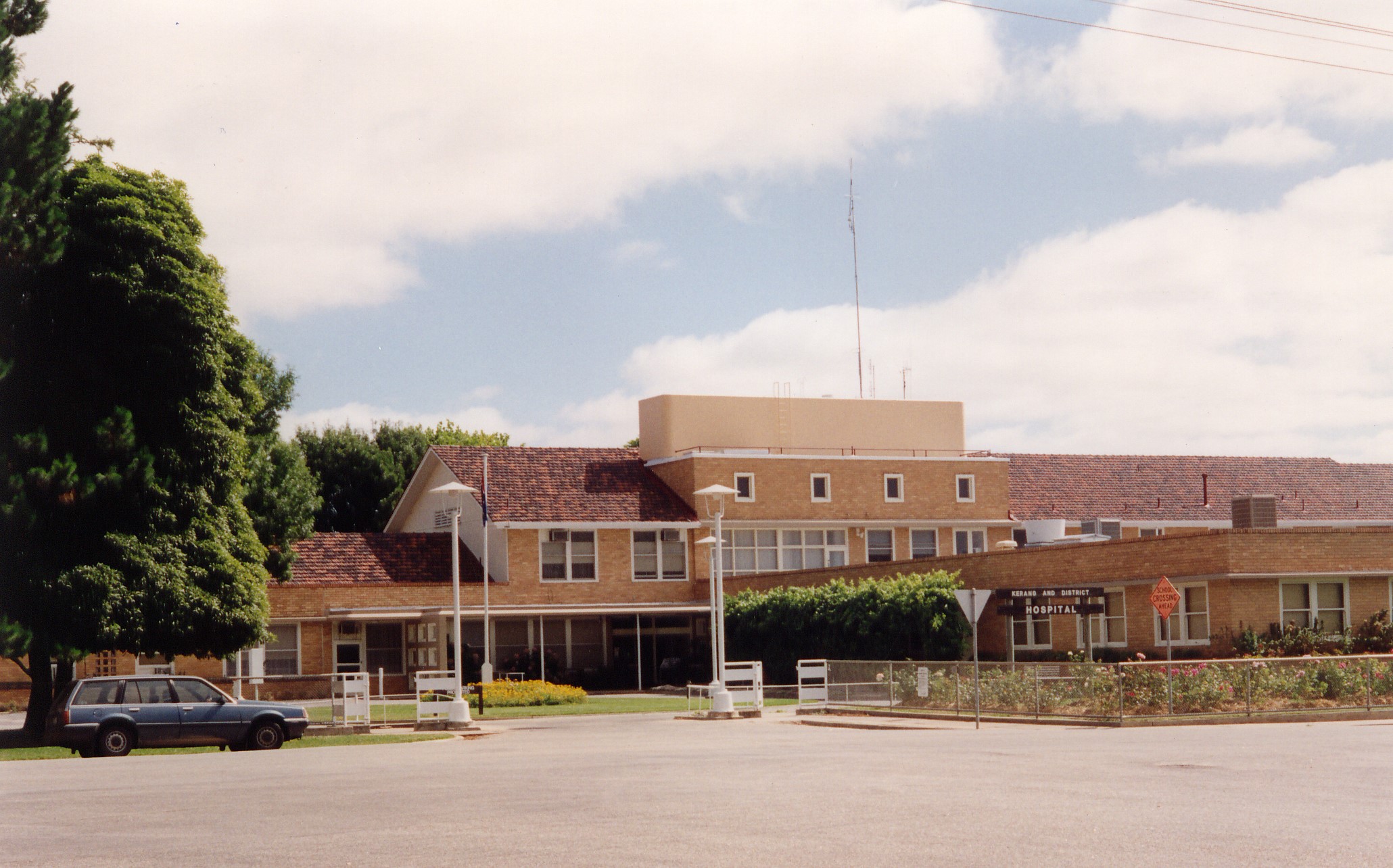
- Kerang Hospital
- London ES&A Bank - later to be used as Borough Offices
- Mechanics Institute
- Memorial Clock
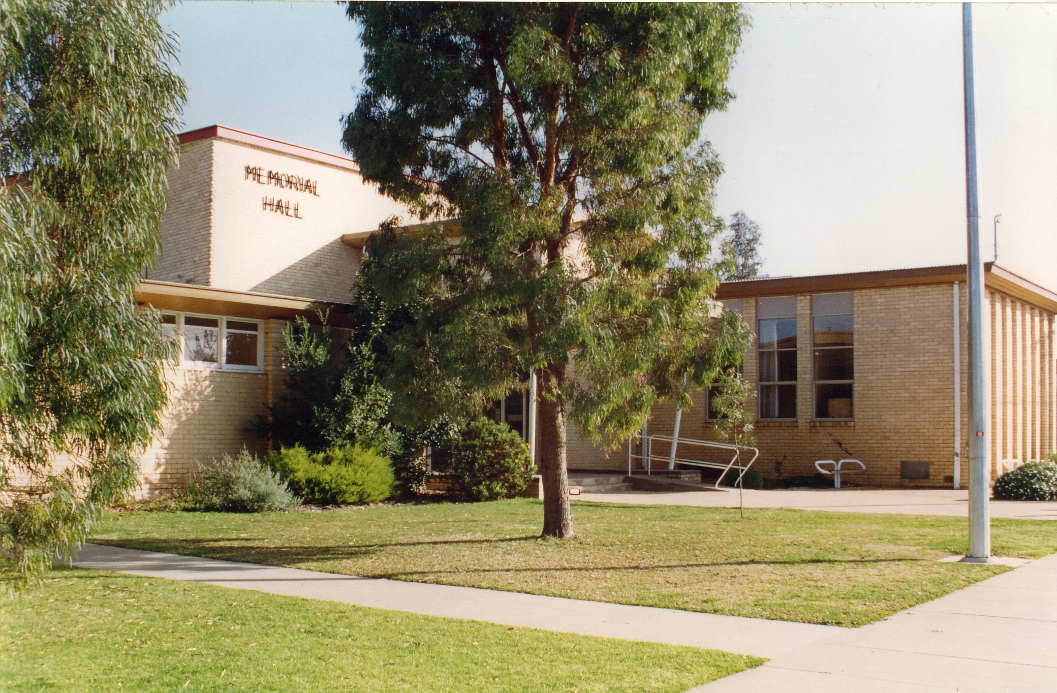
- Memorial Hall
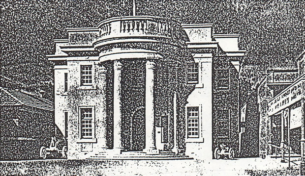
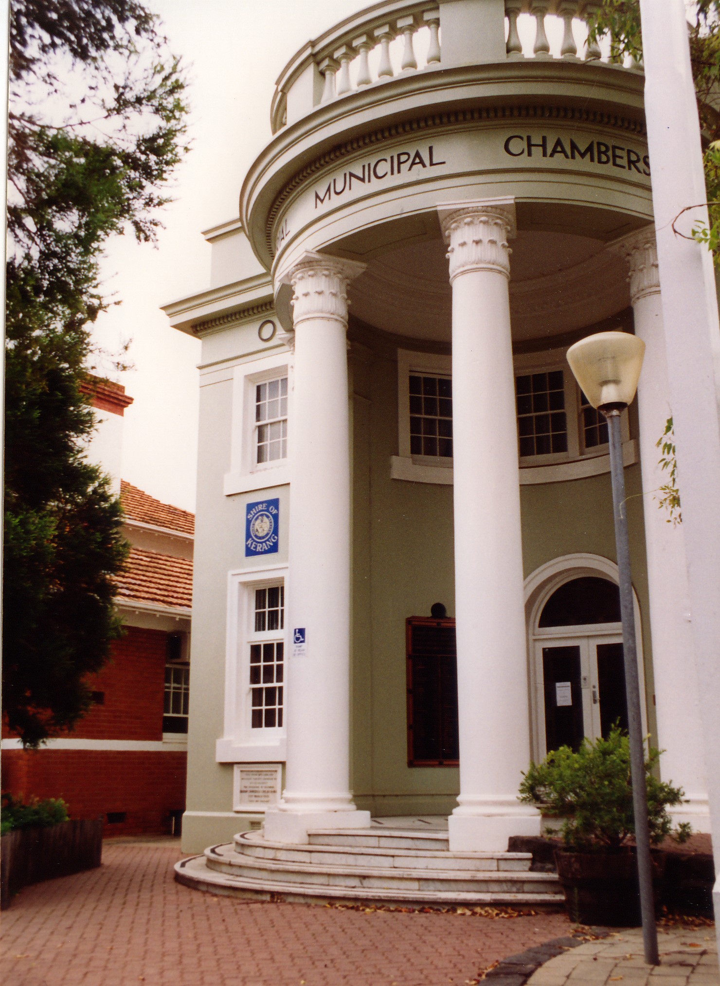
- Memorial Municipal Chambers
- Memorial Municipal Chambers
- Old Library
- old Shire offices
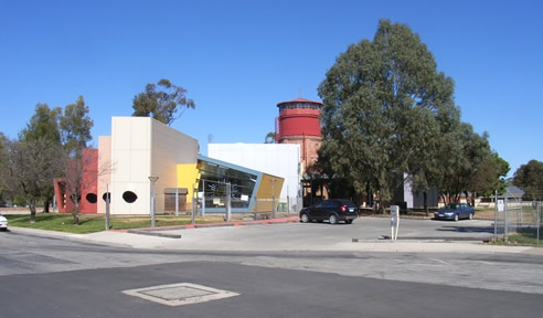
- old Water Tower
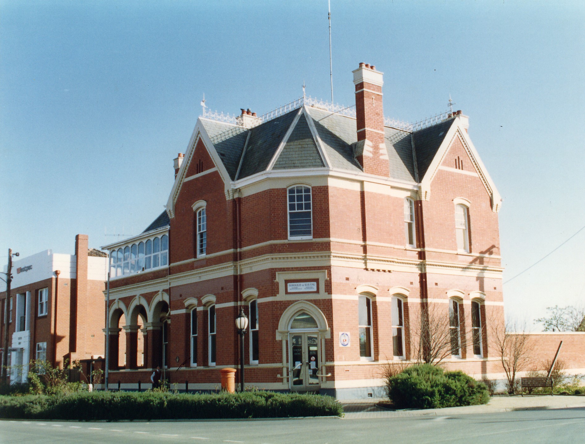
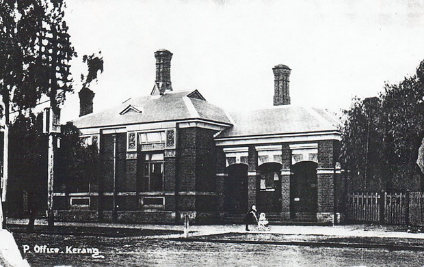
- Post Office
- Sir John Gorton Library
- Sir John Gorton Library viewed from Shadforth St
- Victoria St
- Wellington St